The Jammu and Kashmir region, with its unique geography and rich cultural heritage, is undergoing rapid urbanization and development. Encompassing the Srinagar and Jammu Metropolitan Regions, this area is marked by its diverse landscapes, from the picturesque Kashmir Valley nestled between the Himalayas to the bustling plains of Jammu. The region faces significant challenges such as fragile ecosystems, climate vulnerabilities, and unplanned growth, which demand sustainable and ecologically sensitive development strategies to preserve its natural resources while enabling economic growth.
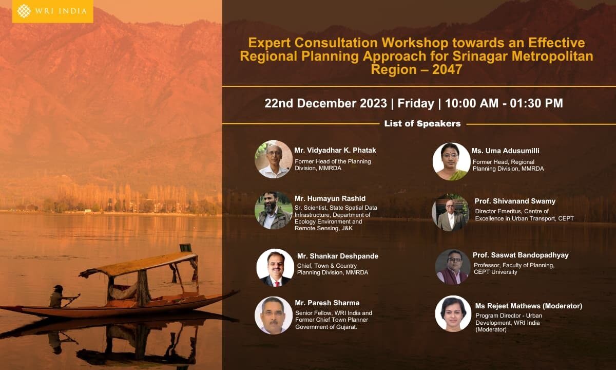
WRI India is providing knowledge and technical assistance to the Srinagar Metropolitan Region Development Authority and Town Planning Organization Kashmir for building regional planning frameworks and developing local capacity and capability. We will be supporting regional planning efforts being undertaken for Jammu Metropolitan Region and Srinagar Metropolitan Region for 2047.
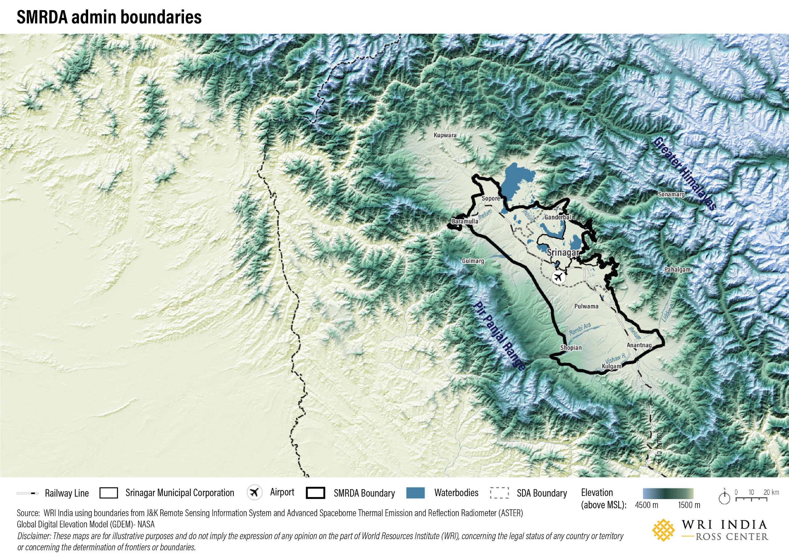
SMRDA Admin Boundaries
This map outlines the Srinagar Metropolitan Regional Development Authority (SMRDA) in Kashmir Valley, showcasing key features like Dal and Wular Lakes, transport infrastructure, and major urban centers. The elevation gradient highlights the valley’s unique topography, providing insight into regional planning and urbanization patterns.
Elevation Profile
Elevation profile of the Kasmir Valley region, depicting the east-west cross-section from the Pir Panjal Range to the Greater Himalayas. The basin-shaped topography of the Kashmir Valley influences natural drainage patterns, making the region vulnerable to waterlogging and floods. Unplanned urban expansion has disrupted these systems, increasing flood risks, as seen during the 2014 floods.

Land Use Land Cover
This map depicts land use and land cover within the Srinagar Metropolitan Regional Development Authority (SMRDA) boundary. It highlights built-up areas, croplands, grasslands, tree cover, and permanent water bodies. The spatial distribution of these features provides insights into urban expansion, ecological balance, and planning considerations for the region’s sustainable development.

On March 6th, 2024, WRI India formalized a Memorandum of Understanding (MoU) with the Directorate of Urban Local Bodies, Government of Uttar Pradesh (GoUP), to provide technical expertise and knowledge assistance

Copyright | Privacy Policy